Cuyamaca Rancho State Park
7.5 miles
See Photos
Getting there
From San Diego take 8 East to 79 North. Look for Paso Picacho Campground after maybe 10 miles or so. If you are in North San Diego, take 67 through Ramona to 78 East, then when you get to Julian, take 79 South.
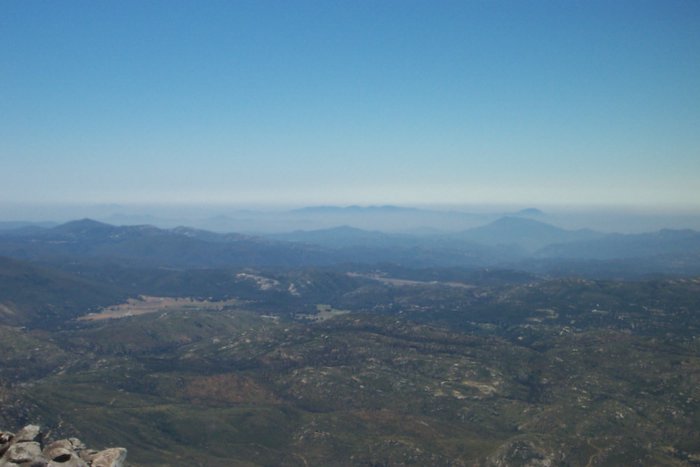
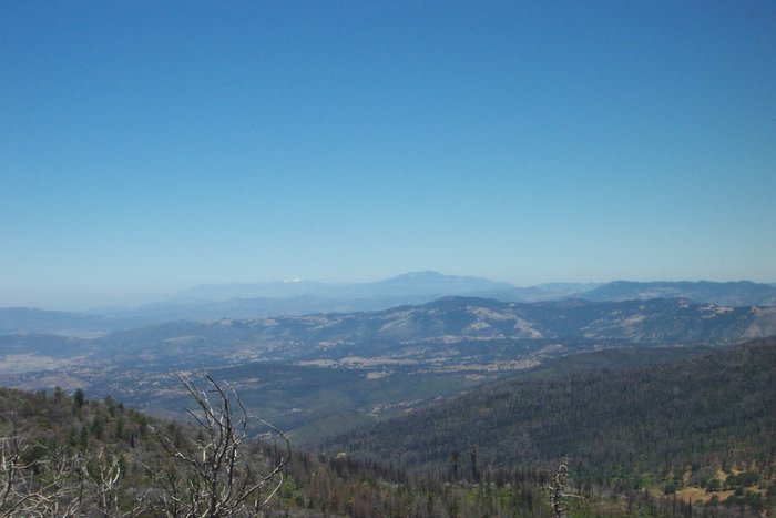
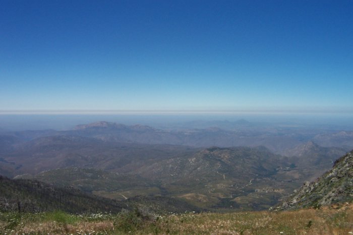
I went to hike Cuyamaca Peak today, in fact it was only my second time doing that hike, the first being the day before the 2003 wildfires. I parked at the Paso Picacho Campground in the day parking lot. It now costs $6 instead of $4, but I'm always happy to pay for things like that since I know the money goes to good use.
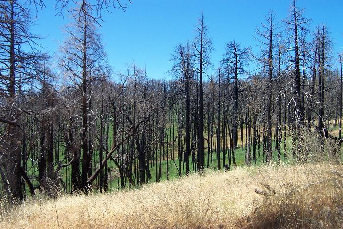
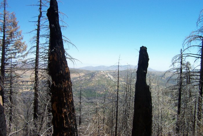
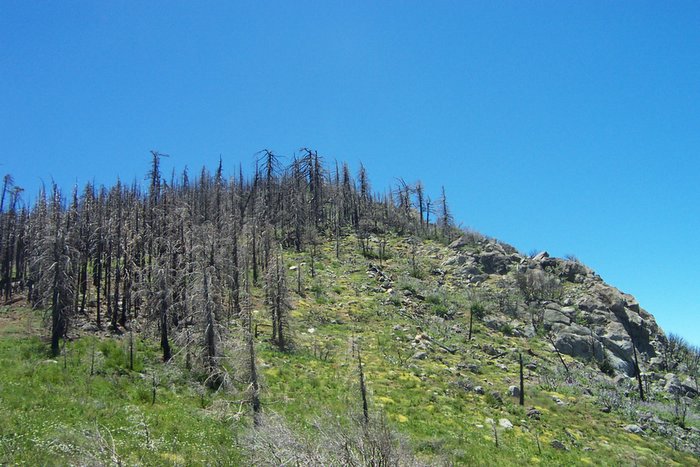
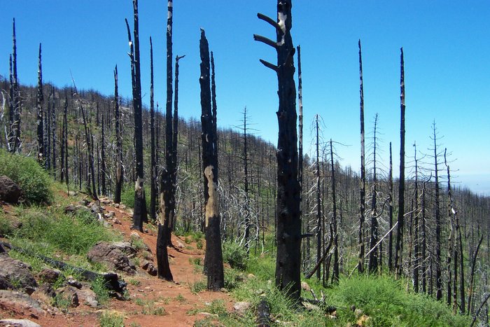
The most direct way to the Peak is to take the Lookout Fire Road. It's paved, which doesn't give it much of an "out in the woods" type feel, but considering that from the base it's a 1600 foot elevation gain in exactly 3 miles (at least that's what my GPS said), you won't be worrying about the trail being paved. Instead you'll be trying to catch your breath. Finding the starting point of the trail behind the campground is kind of a pain, and I ended up walking through a bit of the campground before I found it. Keep in mind that what was once a shaded trail is no longer shaded since the fires, so it can get pretty warm, and make sure to bring your sunscreen.
From the peak, I took the the Conejos Trail (you have to look close to find it, from the Peak you have to backtrack about .5 miles) heading north. This trail is not difficult, but there is a lot of loose rock so it might take longer than you would think to descend this way. Follow the trail until it meets up with the Azalea Spring Fire Road. From there you turn right (south), and it meets the Azalea Glen Trail Loop. There are actually two different trails with the same name, but it's really the same one, just making a loop, hence the name. Either will get you back to the campground and the parking area. The total loop is about 7.5 miles.
Update 08/20/2008 - I have hiked to the peak several times since this original posting. Note that because of the past fires, I think some of the trails mentioned in the original post are closed for rehabilitation. I know for sure last time I was there that Conejos Trail was closed. Also, because of the 2003 fires there is virtually no tree cover anymore so this is a HOT AND SUNNY hike in the summertime.
